October 2026
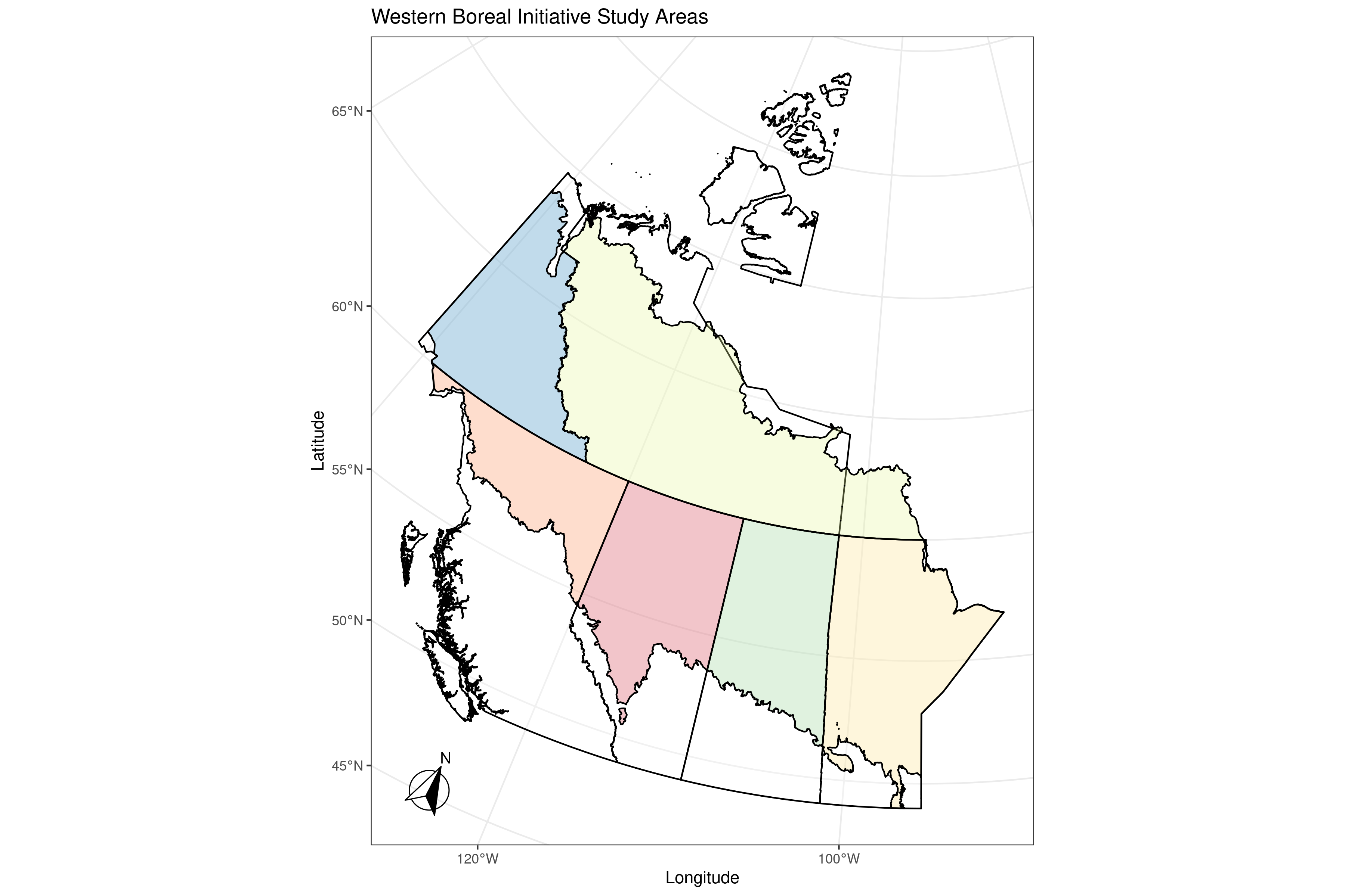
Western Boreal Initiative
A collaborative initiative that brought ecological models and large spatial datasets together to assess cumulative effects on forests, wildlife, and other values.
View projectProjects
Examples of data management, visualization, and application delivery work.
October 2026
A collaborative initiative that brought ecological models and large spatial datasets together to assess cumulative effects on forests, wildlife, and other values.
View project
October 2026
Technical consulting and prototype work covered analysis, session storage, reporting, and cloud deployment for a Shiny application.
View project
October 2026
A public data platform for exploring habitat condition and disturbance trends across woodland caribou ranges in western Canada.
View project
October 2026
Training and documentation helped the Government of British Columbia’s Forest Analysis and Inventory Branch set up, use, and maintain cloud infrastructure for spatial data and analysis.
View project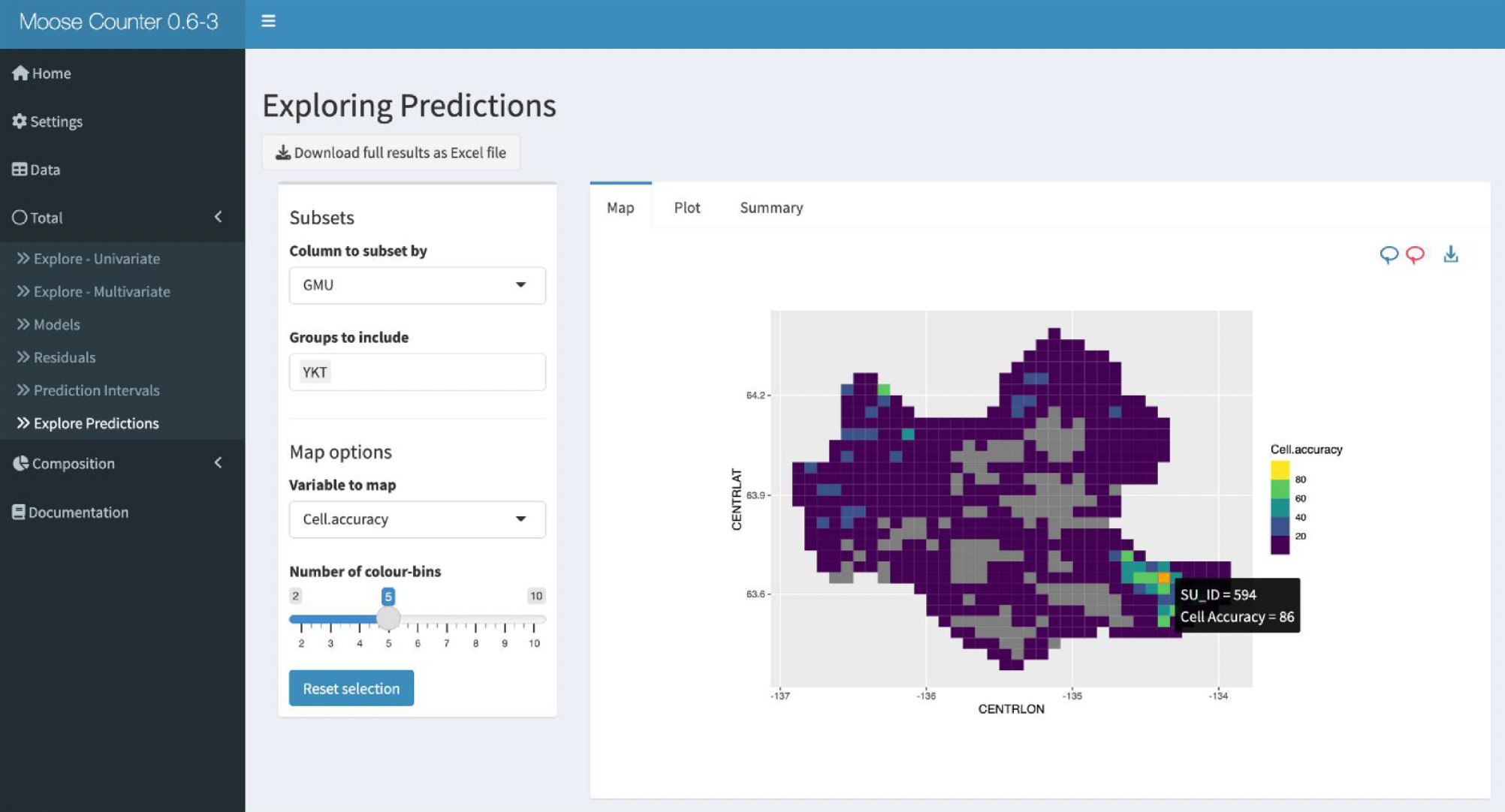
October 2026
An adaptive sampling workflow and interactive R software supported spatial estimates of moose abundance and composition while targeting survey effort where predictions were most uncertain.
View project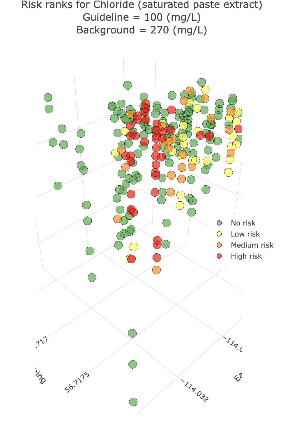
July 2026
A practical 3D visualization tool that brings tabular site-management data into real time.
View project
May 2022
A six-hour Statistical Society of Canada Accreditation workshop on taking applied statistical work from data workflows to deployable, interactive applications.
View projectNo projects match this service yet.
Work with us
We bring the analytical, engineering, and design expertise needed to turn complex work into an outcome your team can use.
Start a conversation