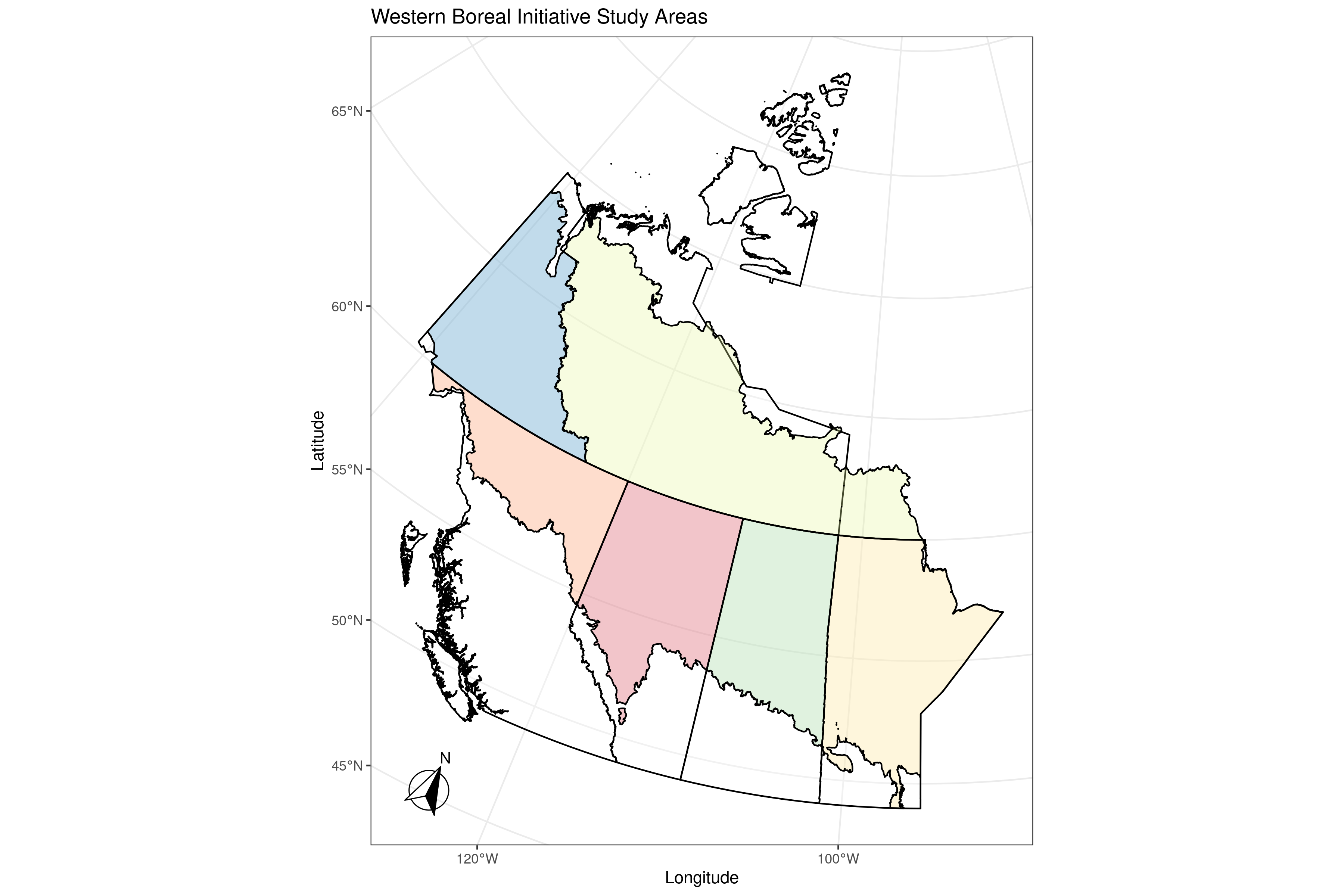

Motivation
Wildfire, pests, forestry and other human disturbances, and climate change interact across large landscapes. Understanding their combined effects required integrating forecasts with many forest values, including woodland caribou and other species at risk, timber, carbon, and downstream economic values. The initiative built on a Northwest Territories pilot and sought to make complex, spatially extensive forecasts useful to land users and managers.
The project
The Western Boreal Initiative used the SpaDES family of R packages as a foundation for modular, spatially explicit simulation. Its interoperable workflow supported raster-, event-, and agent-based models and visualization.
Analythium compiled and organized summaries from forecasts across the study areas, including documentation of backend data deployment and update processes. We also specified hosting and backend development, a web interface for exploring outputs by ecological process, spatial extent, and time period, and an updated technical and user documentation.
Our results
A pilot produced a web application that showcased Western Boreal Initiative data products for the Northwest Territories. The subsequent extension defined work to extend that foundation across the broader Western Boreal study area and make forecast summaries accessible through a web interface.
The initiative’s outputs were intended to support multi-species conservation planning and help users examine trade-offs among ecological and socioeconomic values, consistent with the stated goal of public data access.
See the following links for the interactive applications that were developed to support the Western Boreal Initiative: